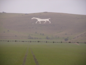
Alton Barnes White Horse
Alton Barnes White Horse
7.65 miles
The Alton Barnes White Horse is: Ordnance Survey reference SU 106 637
This leg will start from Knap Hill which is about 900 metres to the east of the White Horse
We are not starting this leg from the White Horse because it would involve crossing a road which could be a potential danger.
Route - (Select Satellite view) and here is a Word File for easy printing (thanks to Carl Zalek)
Car Parking is at Knap Hill at the start of this leg.
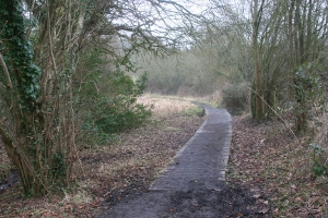
This stage will start in the field, just over the stile. Follow the signs for 'Mid Wilts Way'.

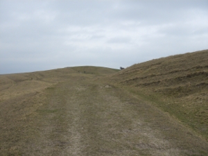
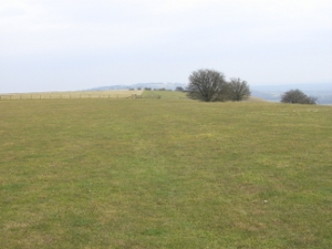
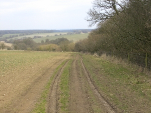
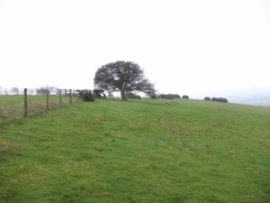
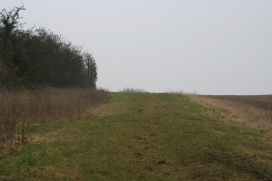
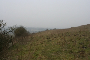
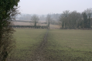
In front of you is a hill from the top of which there
are wonderful views,

however,
take the track (Tan Hill Way) to the left of this.

and continue
uphill

until you come to a gate.

(It has the Mid Wilts Way disc on it.)

Continue to the top of the hill

along the track.

Soon

you come to another gate

and metal stile.

The stile is quicker!
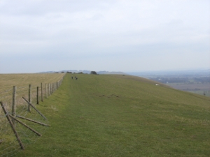
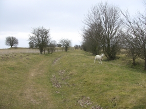
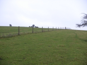
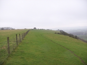
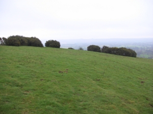
Run along the top of the ridge

keeping the valley

on your right

until you come

to yet another gate

and metal stile.

You have travelled

over a mile.
Now you can see a wood (Gopher Wood)
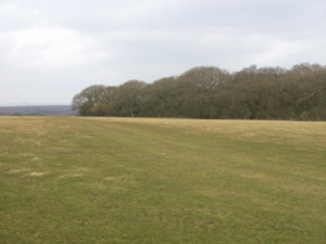
ahead.

Skirt round this wood to the left.


Climb over this stile

and continue to the bottom of the slope
and

another gate.

Your route is

straight ahead.

Another gate!
(You are now following the Mid Wilts Way)

and up the slope.


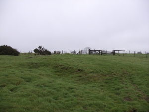
At the top of the hill

there is a gate

Do not go through it.
This leads to a bird santuary.
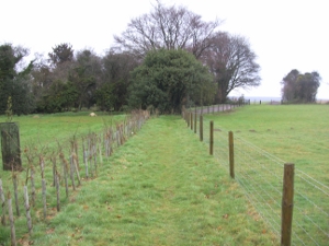
Turn right, keeping the fence on your left


At the corner of the fence,

turn left

and continue across the meadow

keeping the fence on your left.


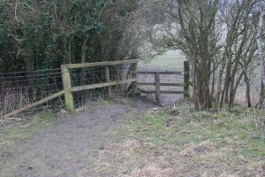
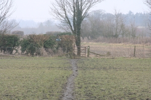
You come to another
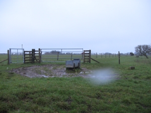
gate and 'stiles' either side of it.
Climb over the 'stile'

and continue still with the fence

on your left.


Bear left at the corner of the fence
and continue
to follow the fence
and the track bewteen the trees

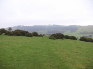
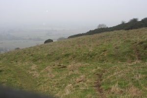
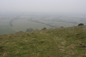
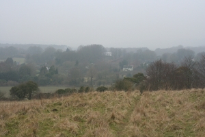
If you look down to your right
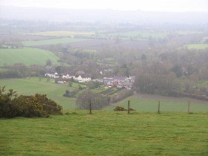
you can see the village of Oare.

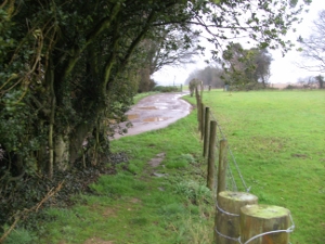
Pass through the gate

and follow the track
towards another gate.

Beware of rabbit holes.

Nearby

there is a smaller gate.

Pass through this and continue along
the grassy track until
you come to a road.
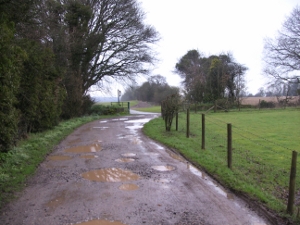
Follow this road

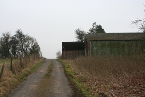
past the entrance to Huish Down Farm

for about another 700 metres ...

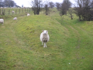
(You may see sheep in the field on your right)

... to the

end of

the

track

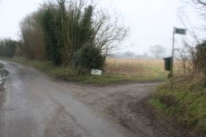
where you will meet the road (A345)
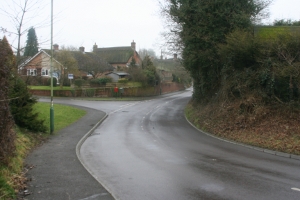
Be very careful crossing the A345 as this road is a fast busy road with a blind hill summit obscuring the view.

...
Obey the marshals and if asked to wait, WAIT.
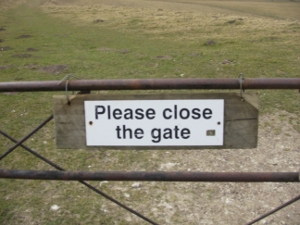
Any gate which you open must be left closed after you pass through.

Run

up

to
the

small car park.

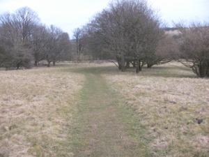
Turn left and continue up this path,
the Tan Hill Way,

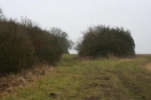
until you come to some trees
on both sides of the track.

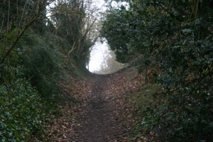
The White Horse Trail bears left

beneath the trees.

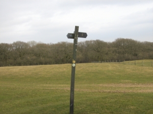
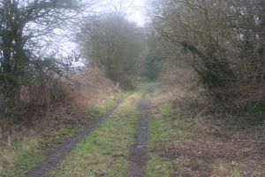
Continue along this track

until you come to the

second 4-way junction

which is clearly marked

by a metal sign-post and

take the path
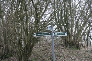
marked West Wick
.

Continue along
this path keeping

the bushes
to your left

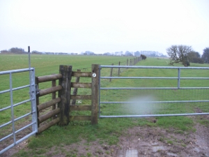
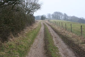
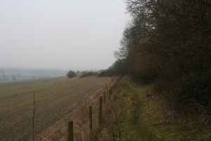
until you come to a fence.

Follow the fence to the right and

pass through the gate
(marked Access Land
).

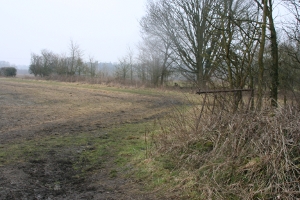
Keep the fence to your right until
you soon see a track and shallow gully,
where you turn left to descend the field

steeply.

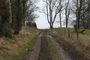
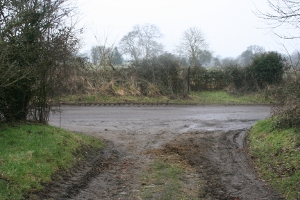
At the foot of this hill you will see two tracks.

DO NOT TURN LEFT

but continue along the track

straight ahead.

Follow

this
track

along
the edge

of the
field until

you come

to a
stile

(marked Mid Wilts Way).

Cross the stile, turn immediately left
and you will soon
meet a track which

cuts across your route.
Continue straight across

and along a track

until you come
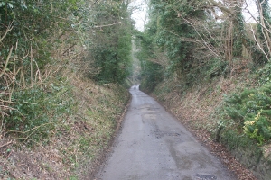
to a road (Sunnyhill Lane).

This is Bethnal Green. Turn left,

pass a farm on your right and turn right at the
next lane, signposted

Inlands Farm, Pewsey, 140 metres further on.

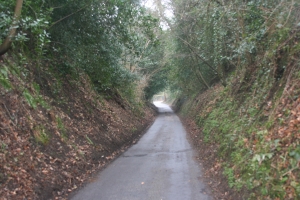
Continue along this track for two kilometres,
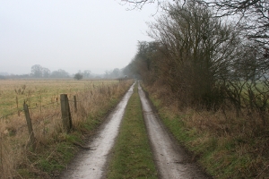


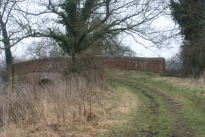
crossing the canal at Pains Bridge,


a boardwalk,

another little bridge.


You join a road


and run under the railway at Knowle


where you join Hollybush Lane.
This stage finishes at the roundabout

(painted on the road) at Milton Road/High Street.


![]()
![]()